Hiking around Amerongen castle
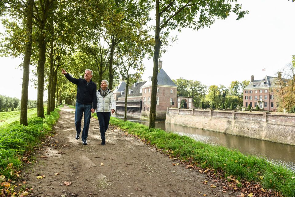
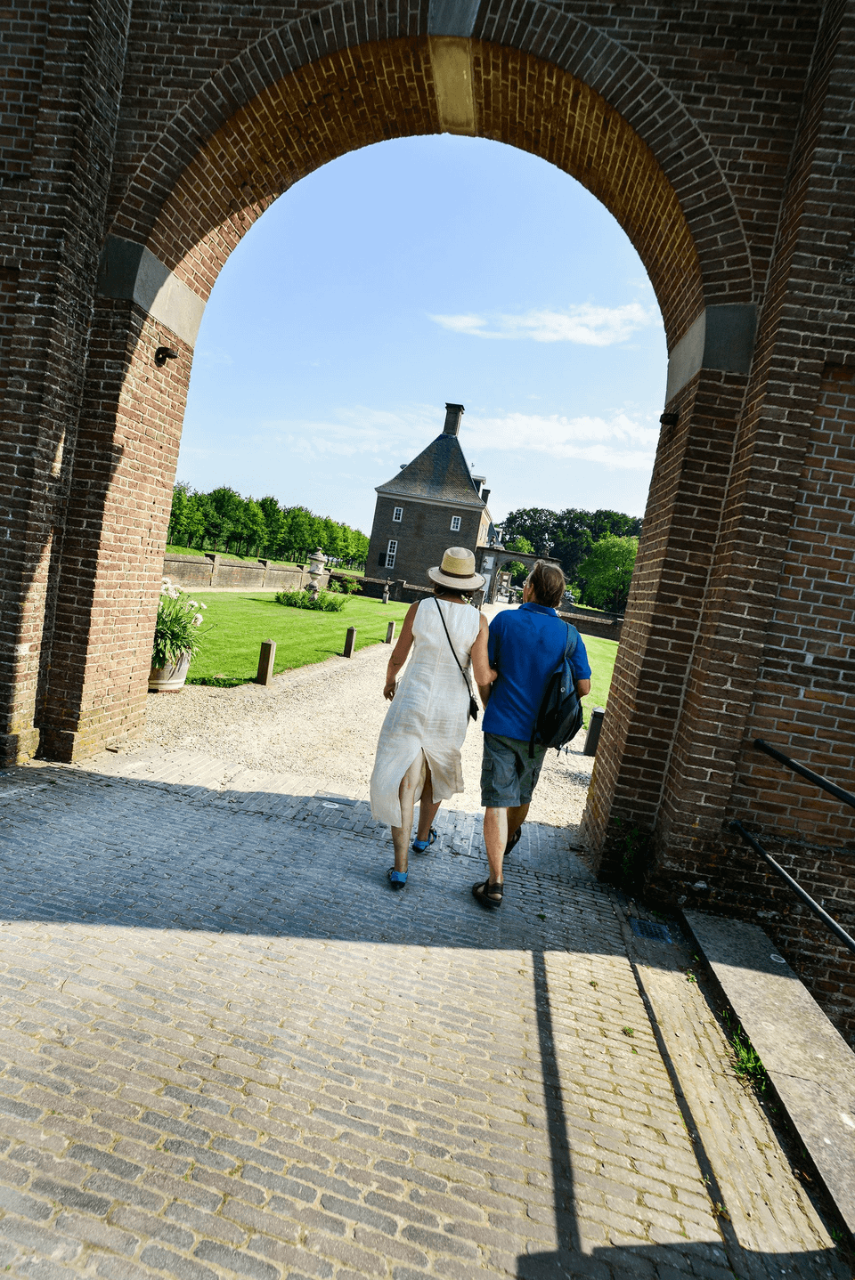
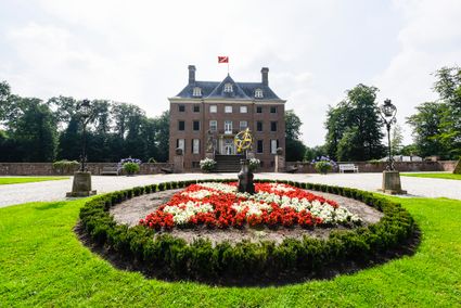
Amerongen Castle is one of the many country estates in the Utrecht region. This trail around Amerongen Castle will take you through the beautiful woods surrounding the castle and over the Amerongse Berg hill. A large amount of burial mound remains from the Middle and Late Bronze Age were found on this hill, and the woods in Amerongen are the oldest of the Heuvelrug region; some of the trees are over a century old. You're guaranteed to experience wondrous nature, heritage and culture on this trail. Why not combine this with a visit to the castle and the castle gardens, or with a visit to one of the catering establishments along the trail, and enjoy a whole day out in the Heuvelrug region?
You can start this …
Amerongen Castle is one of the many country estates in the Utrecht region. This trail around Amerongen Castle will take you through the beautiful woods surrounding the castle and over the Amerongse Berg hill. A large amount of burial mound remains from the Middle and Late Bronze Age were found on this hill, and the woods in Amerongen are the oldest of the Heuvelrug region; some of the trees are over a century old. You're guaranteed to experience wondrous nature, heritage and culture on this trail. Why not combine this with a visit to the castle and the castle gardens, or with a visit to one of the catering establishments along the trail, and enjoy a whole day out in the Heuvelrug region?
You can start this route at TOP Amerongen. A Tourist Transfer Point (TOP) is a starting point where you can leave your car and continue on foot, by bike or by boat. TOPs are easily reached by car and offer ample parking space. A large number of them are located near a hotel, restaurant and/or cafe and some of them have charging points for e-bikes.
Take a look
Sights on this route
3958 BK Amerongen
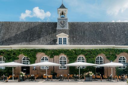
Café-Restaurant-Hotel Buitenlust
Café-Restaurant-Hotel BuitenlustBurg. Jhr. H v.d. Boschstraat 13
3958 CA Amerongen
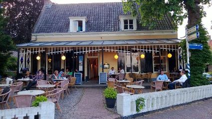
Café-Restaurant-Hotel Buitenlust
Café-Restaurant-Hotel Buitenlust
Café-Restaurant-Hotel Buitenlust
Burg. Jhr. H v.d. Boschstraat 13
3958 CA Amerongen
Directions
- Standing in the car park facing the castle entrance, turn left. Follow the brick road and turn left at the fork, passing a church on your left. Stay on the left at the next fork. At the fork after that, where you will find a combination café, restaurant and hotel called Buitenlust, turn right into Burg. Jhr. H. v.d. Boschstraat. Just before the main road, head straight on the brick road. Follow the footpath along the cycle path straight ahead.
- At the corner of the cemetery, turn right and then immediately left, taking a small footpath along the cemetery. Where the fence bends off to the right, turn left (post marking brown route). Cross the N225. Walk along the barrier into the woods, going straight ahead. At the second intersection, turn right, taking the gravel path through the edge of the woods. A bit further along, continue following the edge of the woods. Walk by the pedestrian gate and then turn left at the intersection. Immediately afterwards, at a small intersection, head straight on to a wide lane, lined with beach trees. The gravel road curves to the right. Pass a barrier and then turn left along a car park in the direction of ’t Berghuis. Just in front of ’t Berghuis is a burial mound. About 50 metres past a barrier, keep going in the same direction at the intersection.
- Continue straight ahead at the next intersection, where the climb to the Amerongse Berg starts. Continue straight ahead, climbing until you reach the information pillar on the summit. When you have reached the top, take the second path to the right, with a bridle path running along to your left. Head straight ahead at the intersection of paths. At the end, turn left, with a loam pit on your left. At the next intersection of paths, take the second road right (brown route). Follow the wide gravel road and cross a bridle path. At the lowest point, at the bench, turn right taking the path running down (leaving the brown route).
- Continue heading down in the same direction. At the six-forked road at P-21793/001, take the second path to the right. Continue straight ahead, until you see a wooden hand-shaped signpost, just off the path on your right, after about 800 metres. Turn right at the next intersection, entering the Boswachterij Amerongse Berg. Continue walking up, straight ahead, until you reach the highest point at the ‘Eenzame Eik’ (Lonely Oak).
- Turn left at the second path (yellow-red route). The path descends; head straight ahead at the first intersection. Briefly afterwards, turn right on the first path, heading into a coniferous wood. At the end, turn left. After about 50 metres, at a three-forked road, head straight ahead; do the same at the following intersection. Continue straight ahead, crossing a bridle path and then a cycle path. Where paths intersect at a paved cycle path and barrier, take a sharp right. From here, take the white-red marked path, the Trekvogelpad, to Amerongen. At the first intersection, after about 600 metres, turn left.
- Continue walking straight ahead. At the ’t Pannekoekhuis pancake restaurant, cross the main road, the Elsterstraatweg. Head straight along the Molenweg. Where the paved road bends straight left, head right onto an unpaved path.
- Take the swing gate into the meadows of the Amerongse Bovenpolder. Leave the meadows through another swing gate and head straight. Passing a small watchtower, take a small paved road to the left. Just before reaching a house called 'Zandvoort', turn left onto a semi-paved road. Turn right just before reaching Amerongen Castle to return to the car park.
