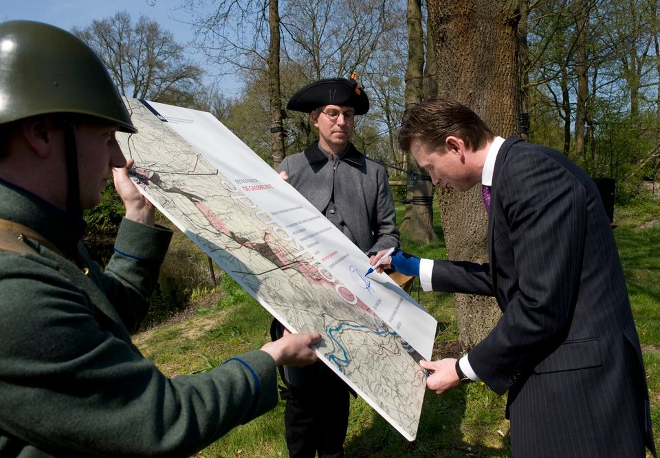
Grebbe line: defending the land with water. The Grebbe Line was a first defence point of the Dutch Water Line. For many centuries this section defended the region by flooding land in the case of enemy threats. You can now walk, cycle and canoe there.
Nearby
Skip map tab stops


Leaflet Sources: Esri, HERE, Garmin, Intermap, increment P Corp., GEBCO, USGS, FAO, NPS, NRCAN, GeoBase, IGN, Kadaster NL, Ordnance Survey, Esri Japan, METI, Esri China (Hong Kong), (c) OpenStreetMap contributors, and the GIS User Community
